This Leg is focused on the Aegean Sea: I fly from Crete moving North, East and South to land at Rhodes. The islands of Greece are wonderful to see, however many of them are not well covered by the imagery service that TileProxy uses: I didn't take many pictures therefore, because in many places the quality (resolution) was really low. A pity!
The good thing is that I have a couple of third pary FSX scenarios covering a couple of islands: Santorini and Rhodes. Those scenarios have a good resolution (comparable to the best imagery from TileProxy and have the advantage of super-imposing 3D objects on top, generated by the AutoGen system of FSX.
By the way, I am going to make a change in the 'Failures' rules: I wil soften the things by not allowing failures to the control surfaces of the aircraft. The reason is simple: with those kind of failures, depending on the situation, there is absolutely no way to recover the aircraft.
I faced an 'Elevator failure' and the elevator got stuck when the aircraft was diving: so I was unable to pull the aircraft out of the dive, no matter what I tried: trim, engines, whatever... It was pretty scaring not being able to do anything and just wait for the final crash!
So I removed that failure. It defies the purposes of facing failures during the flight, because there is no way to 'face' that event. Other kind of failures to control surfaces (e.g. flaps) could be managed, but that one is really catastrophic.
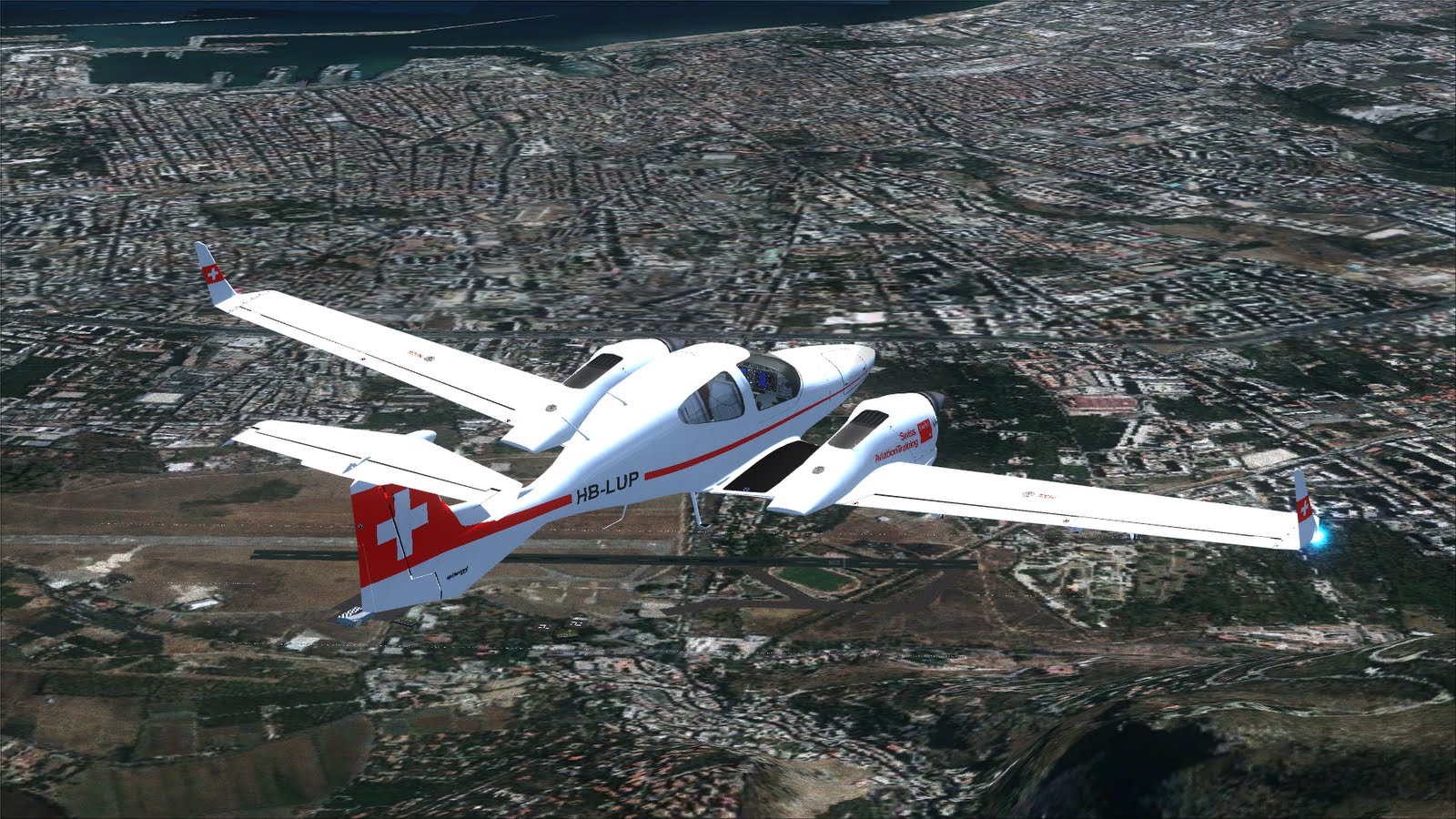
So, about time to start. Take-off from Diagoras [LGSA] in the morning, moving East following the North coast of Crete:

Overflying Pantanassa, approaching Heraklion:

The city of Heraklion and its port, now it is time to leave Crete and fly almost straight North:

Over Santorini Island. As you can see, there appears to be two ships in the water, but one is a "real" 3D ship part of the Santorini scenery, whereas the other is a ship captured by the satellite, it is part of the imagery. At this relatively low altitude (4500') it is easy to distinguish the true from the false, but at higher altitude it wouldn't be that easy:

Another view of Santorini, moving North-West toward Milos:

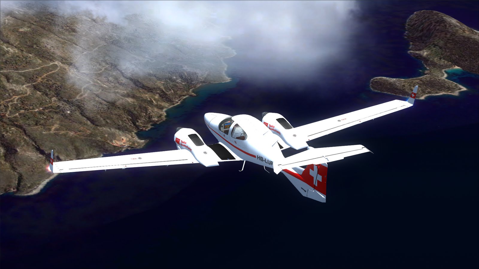
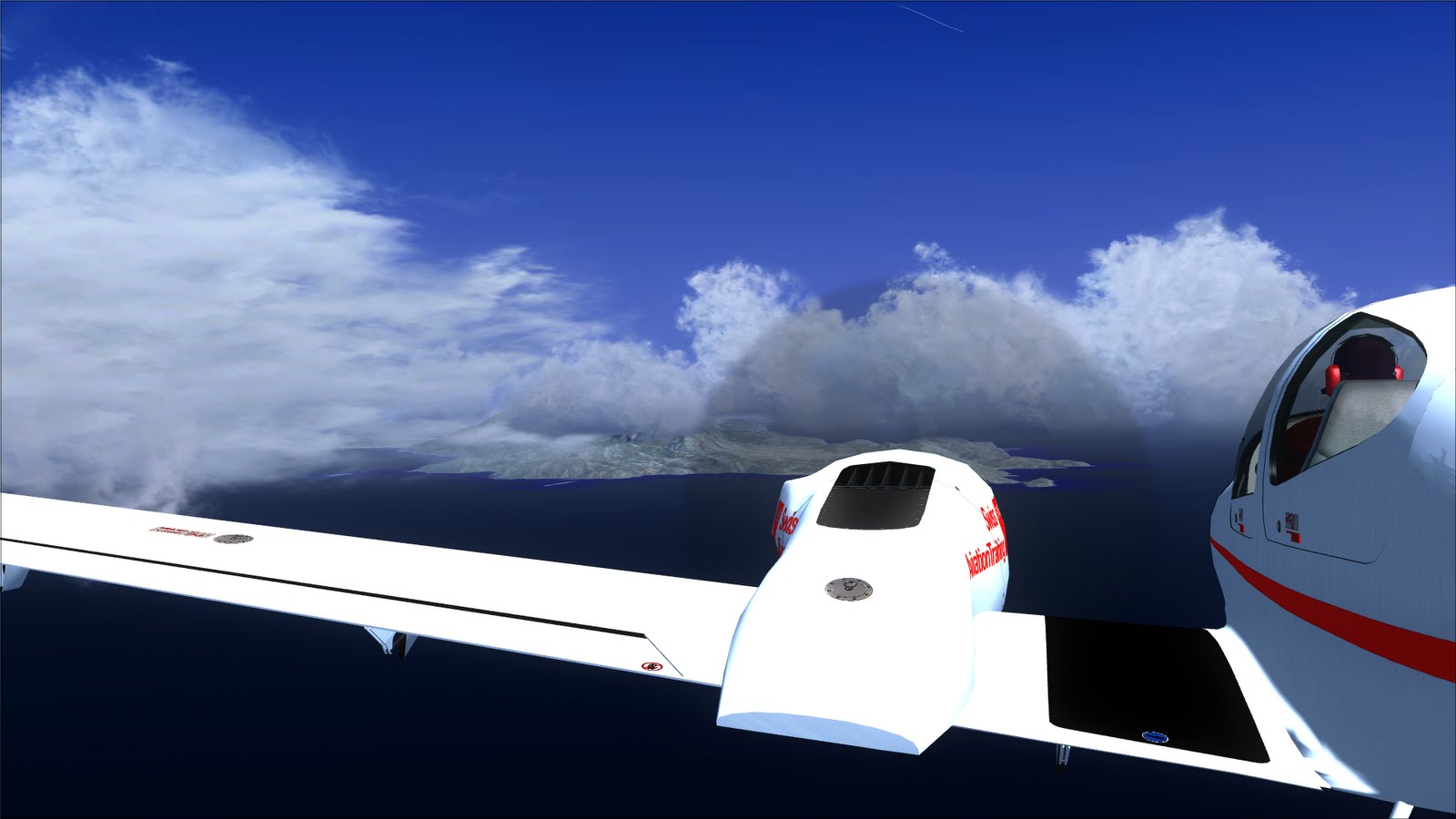
The weather is getting cloudy:

This is Kea, another island. It is a waypoint of my trip since there is a VOR (KEA):

That's the VOR station on the ground, I am turning toward another waypoint. The position of the VOR in FSX is slightly wrong (it happens often): the VOR object should be inside the little white circle on the left:

Half-way through, NAV1 fails again. I begin to think I will be plagued by this particular failure for the rest of my trip:

Samos:
Still Samos, this is the city of Phytagorion and Samos Marina:

The landscape is diffent. I am not overflying Greece anymore, but I am on the coast of Turkey. This is Didim Gürçamlar:

Approaching Milas-Bodrum [LTFE]:

And Tuzia lake:

The town of Boğaziçi:

And Bodrum:

I wonder what those circles are:

Bodrum again, from another perspective:

And Akyarlar. Now I'll leave Turkish airspace and re-enter into Greece for the last part of the Leg:

Knidos is in view:
As you can see from the picture, there is a bay below the aircraft and another one in front, the latter populated by boats. I understand that the first bay is the ancient port, whereas the other is the new one:

I liked a lot this place and its cobalt sea:

And finally, Rhodes. This is a Power Plant:

A close-up pictures of Diagoras [LGRP] airport, quite busy:

And my final destination, the airport of Maritsa [LGRD]: I am supposed to land on RWY26 so I am now downwind in the landing pattern:

And that's the end for today!