Failures are enabled once again, let's see what will be my karma during this leg...
Larnaca, shortly after take-off. Note the mix of real aircraft (3D) and the photos taken fron the satellite:

After a rather long over-the-water part, I am approaching now the coast of Lebanon, near the Wujah Al Hajar airport:

Marina Dbayeh:

Overflying Beirut Airport [OLBA]

This picture is horrible, but I wanted to show it. This is what you see with TileProxy when you reach an area whose satellite coverage is poor: the images are low resolution only, so what you can see from FSX is a collection of blocks... A pity!
Same from the cockpit. It is marginally better as the landscape is not so close and and the angle of view is wider:

Nesher Power Plant, we are in Israel now:


Ben Gurion International [LLBG]:

And the Port of Ashdod:

Ashquelon Oil Refineries:

I have left now Israel, this is the airport of El Arish [HEAR] in Egypt. The satellite imagery resolution is still bad as you can see..

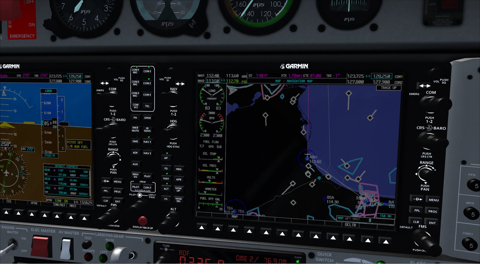
Something is strange. Just after passing El Arish, I saw that the Fuel Flow of the left engine is less that the Fuel Flow of the right one. No idea what's wrong, so I will simply keep flying...
Approaching Port Said and the entry points of the Suez Channel in the Mediterranea Sea:

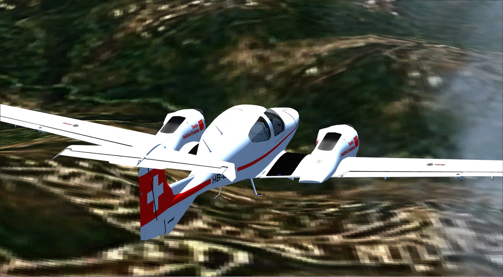
Nice side view of the Twin Star:

Finally... Cairo International is in front of me, I am supposed to land on 05L doing a left circuit, so I am about to turn right, fly downwind of 05L then turn over Cairo and land. The resolution is now better:

Passing Cairo Airport:

Turning over Cairo:

On Final:

And finally taxing to a parking place.

Not bad. Next Leg will be focused on Egypt, taking-off from Cairo, giving a look at the Pyramids (mandatory!) and then go South following more or less the Nile until Aswan
No comments:
Post a Comment