Monday, June 13, 2011

12th Leg: OYTZ to OOMA (then OYRN)

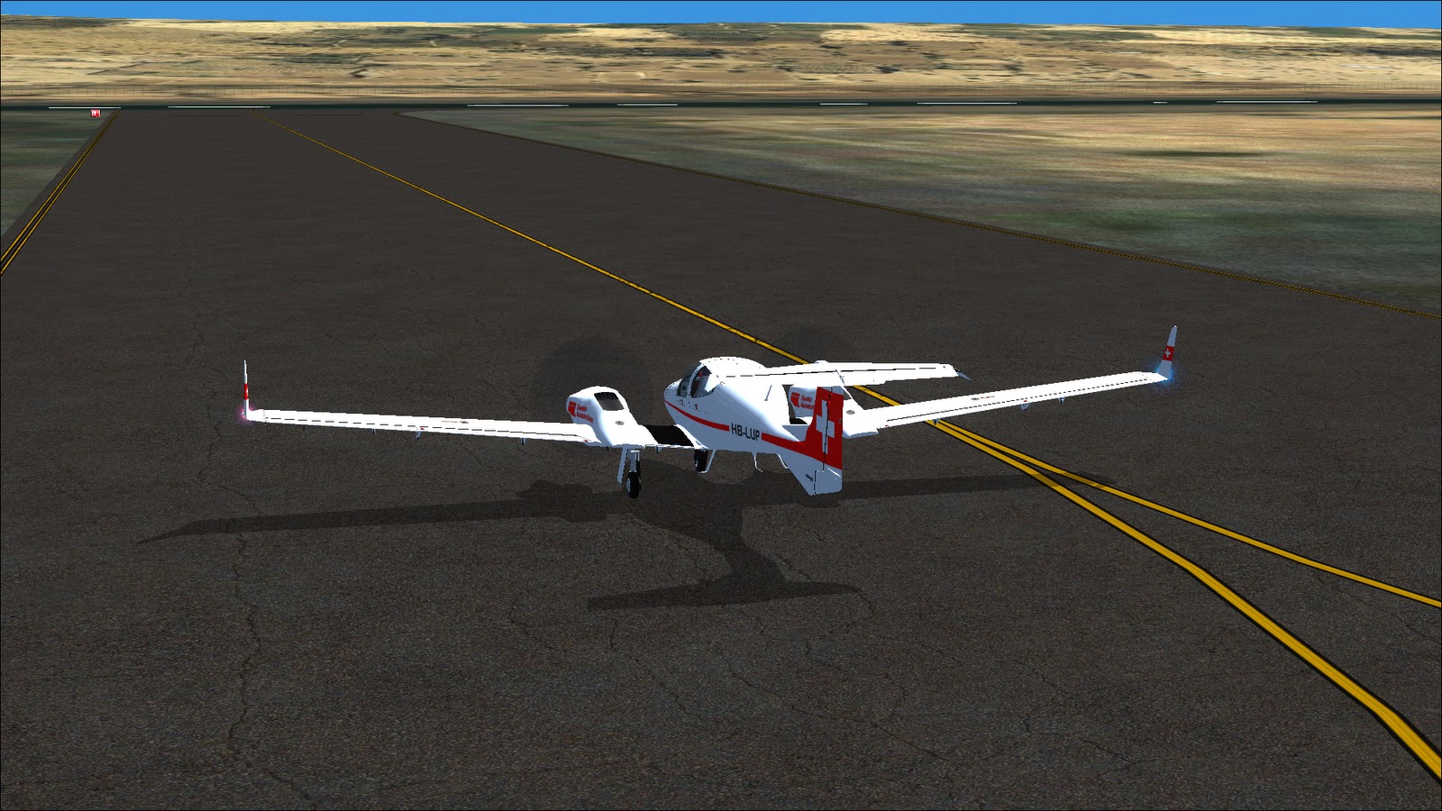
It has been a while... But I decided to carry on the tour, even if I have much less time compared to before. After havinf fixed the problems to the engine.The trusty TwinStar will take off from OY74 early in the morning. Time to start again from this very small airport where I had to land due before.
All set, time to begin the flight. There is only a traffic frequency for OY74 and I announce the take-off from runaway 07:


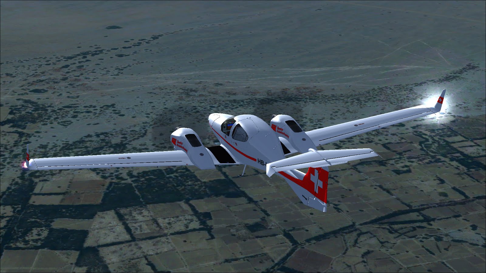
After a couple of minutes I am in flight, directed toward the first waypoint, KRA, 21 miles away, altitude slowly reaching 5000 feet.


Cruise altitude reached. The traffic control of Aden and has been contacted to go trough the C airspace. Aden grants that after switching from 1200 (VFR) to 7174 as requested by Aden Approach.


over Aden. I can clearly see a Stadium on the left. No ships in view, a pity.


After Aden, the aircraft turns almost straight East where the Sun is rising. The next waypoint is RIN, at 274 miles of distance.


5.21 AM. Nice light- Aden Approach calls to hand-off the flight to Sanaa Center with a new frequency and as time goes by, the weather worsen... I can barely see the coast on my left side: I switch on the strobe as well.


Slightly better now.


and bad again after. Meanwhile I begin to hear some radio chatter, the first airliners begin to take off.


After some time, the visibility finally improves. Despite the fact I was flying over the ground, I could not see anything.Some dry land below:


not so much below the aircraft, mostly desert.


the aircraft is approaching some high ground, so I decide to climb to 6000 and when I have a look at the fuel gauge, I find that the adverse weather has drastically worsened the fuel situation. I have only 4 hours of fuel left and I need 5 to reach the destination.


After some thinking, I decide to land at an airport which is right on my flight plan, OYRN and for the time being, to climb further to 8000 to avoid any problem with the mountains ahead.


I can now contact Riyan to request to land: right traffic pattern for RWY24, reducing now speed and altitude to 5000 feet.


A couple of shots of the town of Al Mukalla and the road to Riyan


Downwind leg, right pattern as requested:


And coming down for landing


Parked. Refuel, maybe visit the town and then restart. The final destination is still far away. At least I did not suffer any failure on this flight.

Sunday, March 13, 2011

12th Leg: OYTZ to OOMA (then OY74)

Take-off from Taiz (Yemen) with the idea of flying SE and then NE, going up the Gulf of Aden. The destination of this flight is the aiport of Masirah Island, a military airport in Oman, facing the Arabian Sea. It turned out things went differently however...

Taxiing at Taiz:


Immediately after take-off, the first part of the leg consists in flying almost due East, toward the airport of Aden on the coast:


So far so good, I am flying over hills and green areas:


But then I notice that the performances aren't the usual ones: the left engine of the Twin Star has a reduced fuel flow. Nothing wrong in terms of engine temperature, but it is providing less power and burning less fuel compared to the other engine.


I do not particulary like this area, it is mostly desert and I am at the beginning of a rather long leg, so I decide to abort the flight and land at the first available airport, which is a very small airstrip labelled OY74. Approaching the runaway:


And checking then what's wrong after landing. It turned out a cylinder wasn't working properly. Time to repair things and keep going. I will simply fly the rest of the leg toward OOMA later on...

11th Leg: OETF to OYTZ

The trip goes on from Taif (Saudi Arabia) to Taiz (Yemen), roughly SE along the Red Sea coast. I take-off in the morning, and there seems to be some kind of sand storm:


Pretty poor resolution in this area;


But the sky is stunning:


Keep flying toward the coast, more or less in the opposite direction of the previous flight:


Descending toward the coast, mountains are more or less over:


The coast close to Mastabah:


NAV2 failure, it has been a while since I had that particular failure. Doesn't create any problem:


Keep following the coast, here we are close to Al Shaiba:


And now leaving the coast to turn toward the destination, passing over OYHD:


Mountains again:


And here's the landing strip:


Kind of desolated place. Let's pass the night here, repair the issues and take off again. Next time, moving NE following the Gulf of Aden, then North to approach the coast of the Gulf of Oman, then fly again E toward India. During one of the various legs, I would like to see the Everest: